Capture
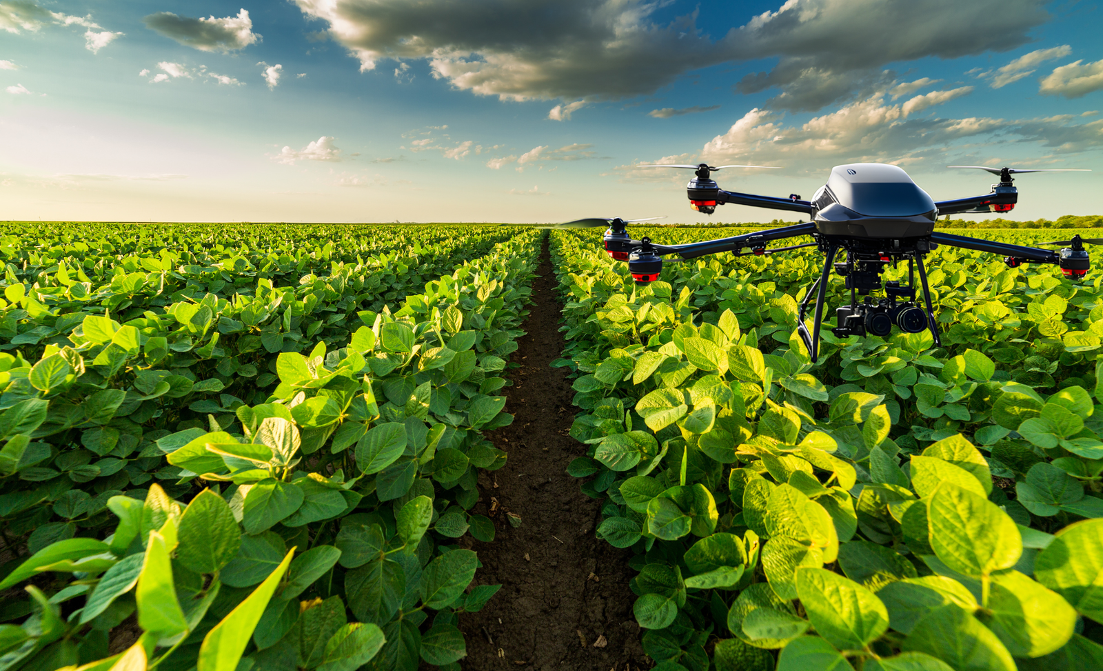
Collect high-resolution imagery with standard drones and cameras across the relevant field area.

Proofminder platform
Proofminder combines high-resolution imagery, AI-powered analysis and expert validation to help agricultural teams understand crop performance at plant and leaf level.
Discuss your use caseHow it works
Proofminder is designed around real agricultural workflows rather than adding another disconnected tool.
Collect high-resolution imagery with standard drones and cameras across the relevant field area.
AI models turn detailed imagery into crop-specific measurements, detections and comparable field data.
Validated maps and reports highlight where agronomy and production teams should focus attention.
Plant-level analysis
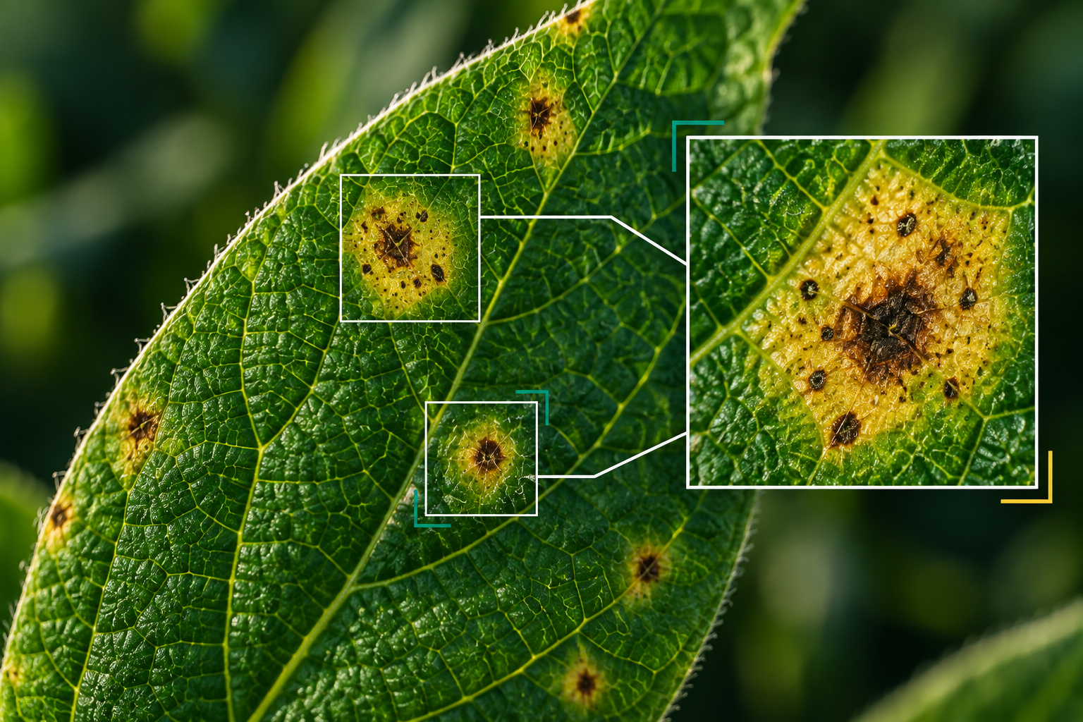
Field averages often hide the differences that matter. Proofminder turns detailed imagery into measurable information that teams can compare across areas and over time.
Decision-ready outputs
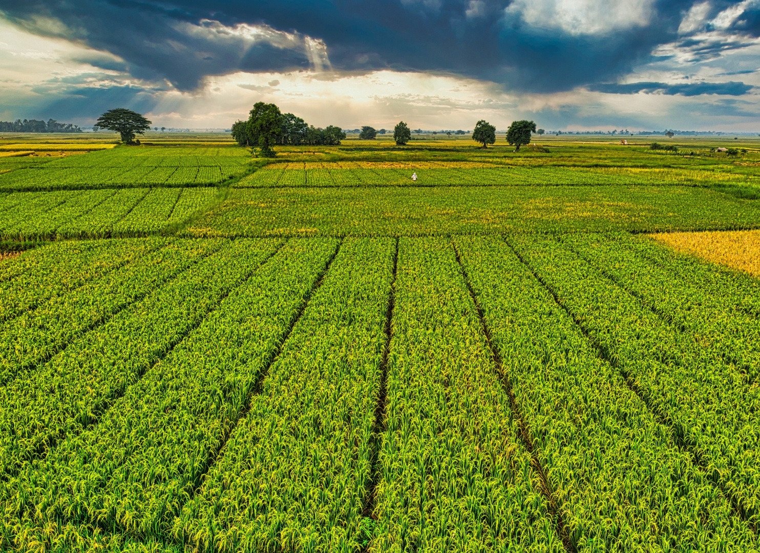
Validated maps and reports help direct scouting, assessment and intervention toward the places where attention is needed.
Start a project
Tell us about the crop, production context and decision your team needs to make.
Get Started